Categories
Arizona California Colorado Driving Illinois Los Angeles New Mexico Oklahoma Road Santa Monica Texas USA

Route 66 : Chicago to LA

“Just take my way that’s the highway that’s the best” Bobby Troup 1946.

When the road was originally designated in 1926, it started in Chicago, Ilinois and ended in Los Angeles, California, but was extended in 1936 to Santa Monica on the coast. It was officially removed from the US Highway System in 1985.
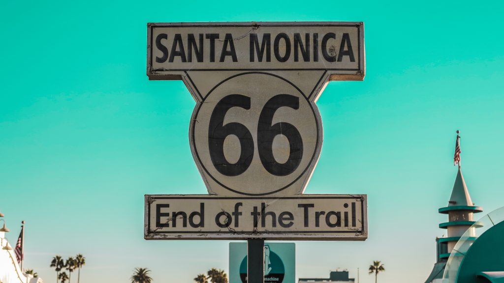
End of Historic Route 66 Sign -Image by Andrzej from Pixabay
End of Historic Route 66

Many sections of the route have since been preserved as Historic Route 66. The impact of the National Highways bypassing small towns like those of the original Route 66, form the basis of the Pixar Film “Cars”.
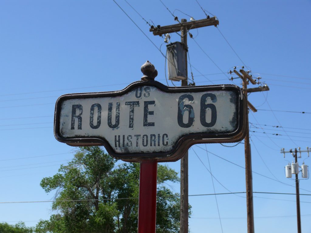
Historic Route 66 Sign - Image by HUNTER16 from Pixabay

Planning a driving holiday this year, then there could be no better choice than driving down Route 66 from Chicago to Los Angeles linking hundreds of rural communities along the way.

Although the original route was declassified many years ago with careful planning its possible to drive along most of it.  There are some excellent Historic Route 66 Maps and Guides (*AD) available to help you plan your journey.

Route 66  
Copyright Linnaea Mallette
Route 66

Most people drive the Route 66 East to West, so all the rental cars end up in the West.  You can save up to 30% on the cost of your car rental by travelling from West to East plus you get the benefit of a shorter flight back to the UK.

The original Route 66passes through eight states and nearly 2,500 miles of diverse landscapes and historic communities. Travellers can explore classic roadside attractions such as vintage neon signs, restored diners, quirky museums, and well-preserved motels that capture the spirit of mid-20th century American travel.

Cities like St. Louis, Tulsa, Albuquerque, and Flagstaff each offer unique glimpses into the cultural and economic history that made Route 66 famous.

Due to its length of the highlights of a Route 66 journey is the remarkable variety of scenery along the way. The route crosses the rolling plains of the Midwest, the wide-open prairies of Oklahoma and Texas, the dramatic mesas of New Mexico, and the striking deserts of Arizona and California.

Cadillac Ranch - Image by Rosy / Bad Homburg / Germany from Pixabay
Cadillac Ranch

Popular stops include Cadillac Ranch near Amarillo, the Painted Desert and Petrified Forest National Park in Arizona, and the charming town of Williams, known as the gateway to the Grand Canyon. Each region offers a distinct blend of natural beauty, local traditions, and historic landmarks that make the journey as memorable as the destination.
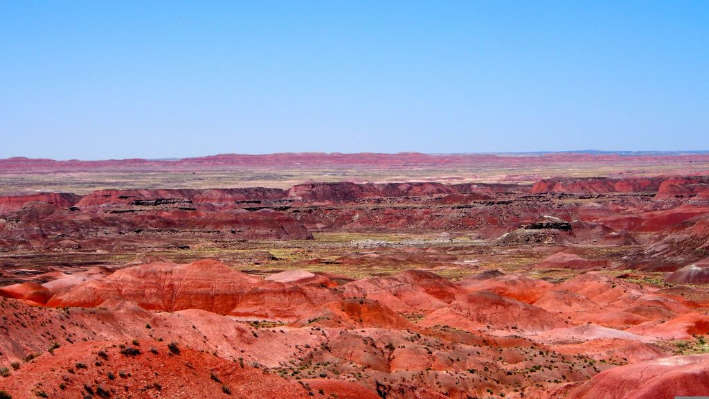
Painted Desert Arizona - Image by blairelizabethbwn0 from Pixabay
Painted Desert

A trip along Route 66 is not just a drive across the country; it is a nostalgic exploration of American culture, history, and the enduring appeal of the open road.

Best Times to Go

  • May – June: Please temperature and long daylight hours.
  • September – October: Less crowded with excellent weather.
  • Avoid July – August for the sections in the Arizona and California deserts, where temperatures can become dangerously high.

Check out our:
14 Day Route 66 Road Trip Itinerary

7 Day Route 66 Road Trip Itinerary

Categories
Activity Beach California Camping Sun USA Walking

California

If California were a nation in its own right, as of 2020 it would have the 5th largest economy in the world. North to south the state is 770 miles long and the east to west its 250 miles across. That means there are plenty of roads to travel during a fly-drive holiday to California. California offers the visitor a multitude of destinations from cities to National Parks, from beaches to mountains.

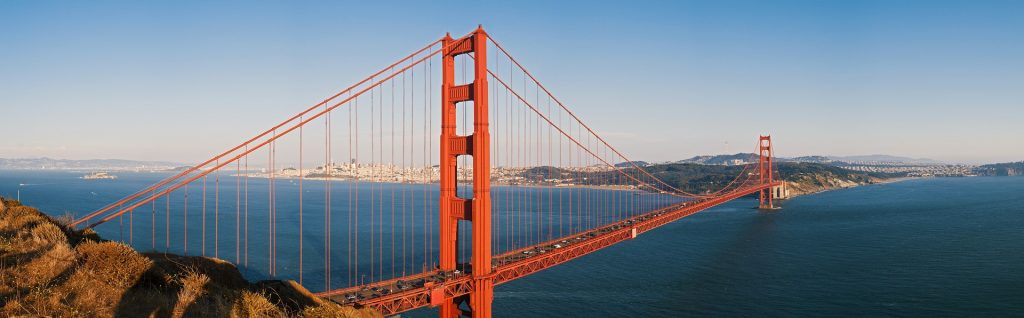
Golden Gate Bridge – California – USA

Planning your road trip as a loop up means that you can start wherever you can find the best deal on flights and car rental. For example at the time of writing flights to San Francisco are being offered at half the price of that to Los Angeles from the UK.

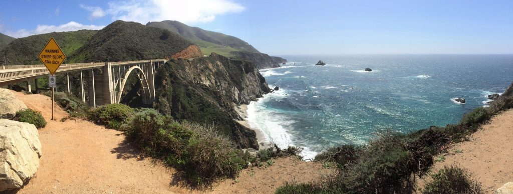
These are a few suggestions of what to include on your road trip. The Pacific Coast Highway. The Highway is not a distinct road as such but part of the SR 1 route, which is just over 650 miles long. It has several portions designated as either Pacific Coast Highway (PCH), Cabrillo Highway, Shoreline Highway, or Coast Highway.

Bixby Bridge – California -USA

We have or will cover the major cities in other posts. So today we will focus on three National Parks: Joshua Tree, Death Valley and Yosemite.

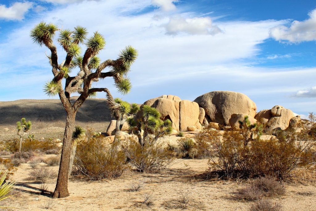
Joshua Tree National Park is located in south-east California. It contains parts of two deserts, the Mojave and the Colorado and this is what makes the park so attractive to visitors. Its not like a visit to the Yorkshire Moors. Desert weather can change very quickly, prepare for your trip. The park gets its name from the trees found in the Mojave desert. Its possible to see a wide variety of deserts animals but its actually at night that the majority of them are active. For the active ones amongst you, there are opportunities for hiking and climbing.

Joshua Tree – California – USA

Death Valley National Park straddles the California/Nevada border to the east of the Sierra Nevada mountains. It is the largest national park in the contiguous United States as well as the hottest, driest and lowest of all the national parks in the USA. On July 10, 1913, the US Weather Bureau recorded a high temperature of 56.7 °C in Death Valley. This temperature still stands today as the highest ambient air temperature ever recorded at the surface of the Earth.

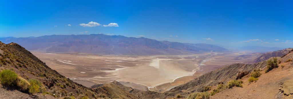
SR 190, the Badwater Road, the Scotty’s Castle Road, and paved roads to Dante’s View and Wildrose provide access to the major scenic viewpoints and historic points of interest. In addtion there is an additional 350 miles of unpaved roads that can be accessed by a 4×4.

Dante’s View – Death Valley National Park – California – USA

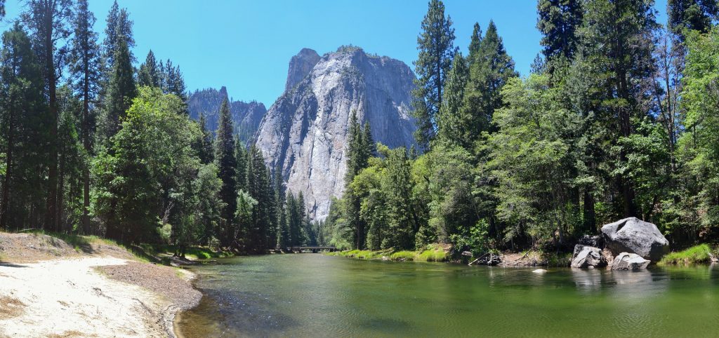
Designated a World Heritage Site in 1984 the Yosemite National Park can be found in northern California. Yosemite is characterised by Yosemite is by its granite cliffs, waterfalls, clear streams, giant sequoia trees, lakes, mountains, meadows, glaciers, and biological diversity. The park contains 20% of all the species found in Calfornia, inclduing 160 rare plants species. The park can get very busy in the summer and traffic congestion can be a problem. However once parked there are over 800 miles of trails to walk and see all the wonderfall sites.

Cathredral Rocks – Yosemite National Park – California -USA