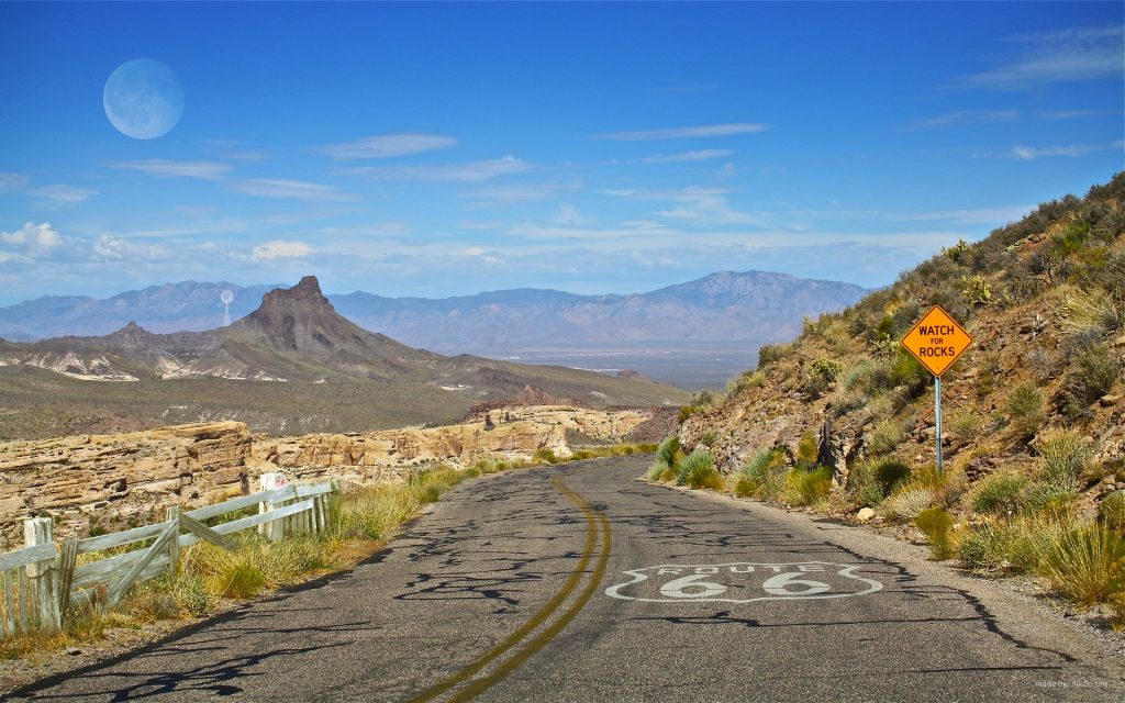
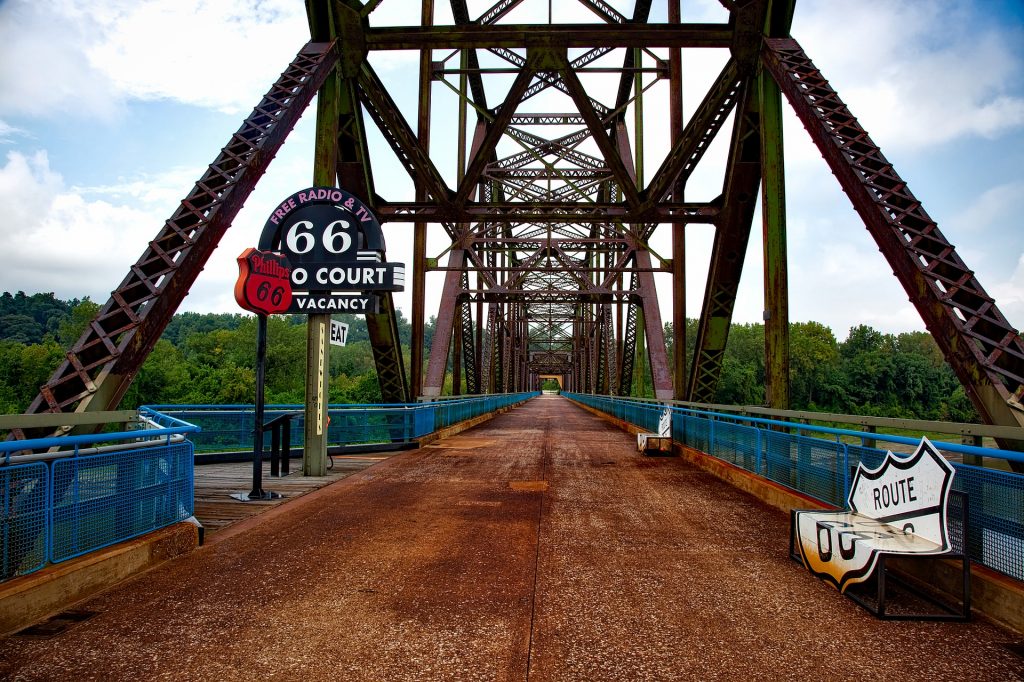
If California were a nation in its own right, as of 2020 it would have the 5th largest economy in the world. North to south the state is 770 miles long and the east to west its 250 miles across. That means there are plenty of roads to travel during a fly-drive holiday to California. California offers the visitor a multitude of destinations from cities to National Parks, from beaches to mountains.

Planning your road trip as a loop up means that you can start wherever you can find the best deal on flights and car rental. For example at the time of writing flights to San Francisco are being offered at half the price of that to Los Angeles from the UK.
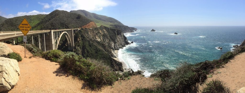
These are a few suggestions of what to include on your road trip. The Pacific Coast Highway. The Highway is not a distinct road as such but part of the SR 1 route, which is just over 650 miles long. It has several portions designated as either Pacific Coast Highway (PCH), Cabrillo Highway, Shoreline Highway, or Coast Highway.
We have or will cover the major cities in other posts. So today we will focus on three National Parks: Joshua Tree, Death Valley and Yosemite.
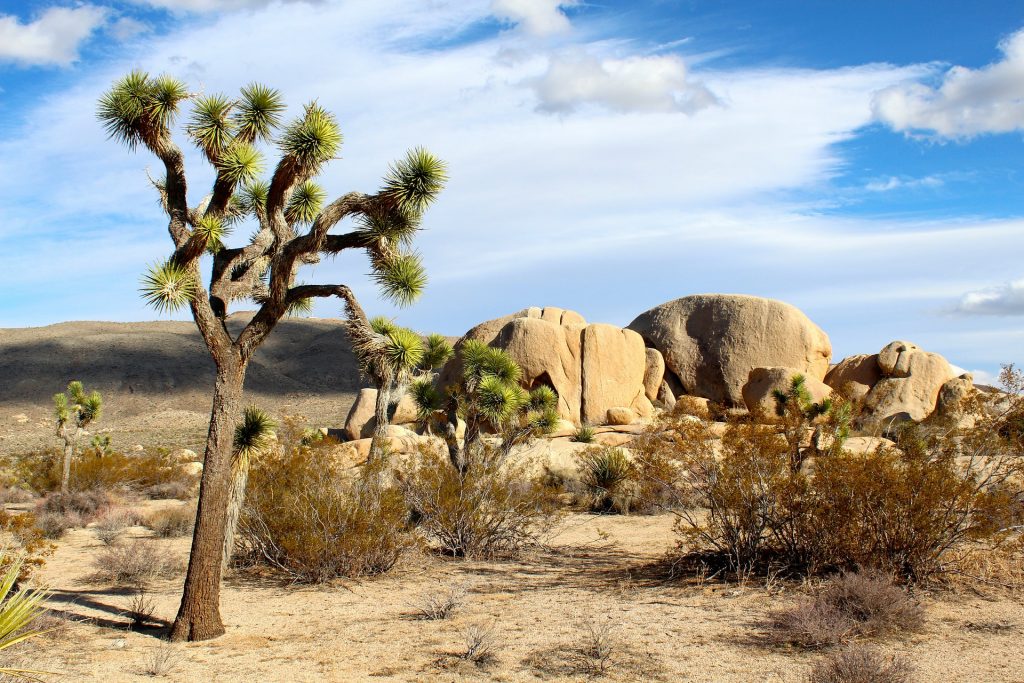
Joshua Tree National Park is located in south-east California. It contains parts of two deserts, the Mojave and the Colorado and this is what makes the park so attractive to visitors. Its not like a visit to the Yorkshire Moors. Desert weather can change very quickly, prepare for your trip. The park gets its name from the trees found in the Mojave desert. Its possible to see a wide variety of deserts animals but its actually at night that the majority of them are active. For the active ones amongst you, there are opportunities for hiking and climbing.
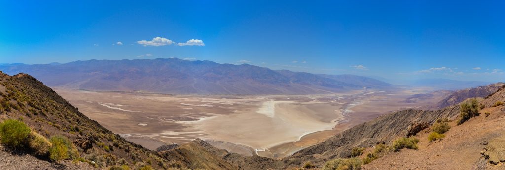
Death Valley National Park straddles the California/Nevada border to the east of the Sierra Nevada mountains. It is the largest national park in the contiguous United States as well as the hottest, driest and lowest of all the national parks in the USA. On July 10, 1913, the US Weather Bureau recorded a high temperature of 56.7 °C in Death Valley. This temperature still stands today as the highest ambient air temperature ever recorded at the surface of the Earth.
SR 190, the Badwater Road, the Scotty’s Castle Road, and paved roads to Dante’s View and Wildrose provide access to the major scenic viewpoints and historic points of interest. In addtion there is an additional 350 miles of unpaved roads that can be accessed by a 4×4.
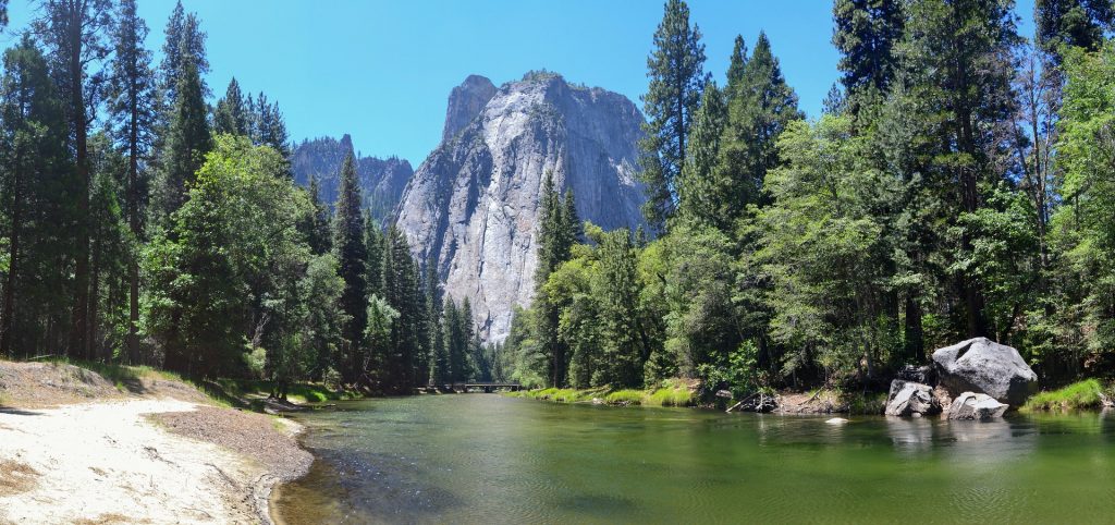
Designated a World Heritage Site in 1984 the Yosemite National Park can be found in northern California. Yosemite is characterised by Yosemite is by its granite cliffs, waterfalls, clear streams, giant sequoia trees, lakes, mountains, meadows, glaciers, and biological diversity. The park contains 20% of all the species found in Calfornia, inclduing 160 rare plants species. The park can get very busy in the summer and traffic congestion can be a problem. However once parked there are over 800 miles of trails to walk and see all the wonderfall sites.
