The Grand Canyon is over 270 miles in length, at some place up to 18 miles across and a mile deep. Located in Northern Arizona, the Grand Canyon is managed by the US National Park Service and is an officially designated UNESCO World Heritage Site.
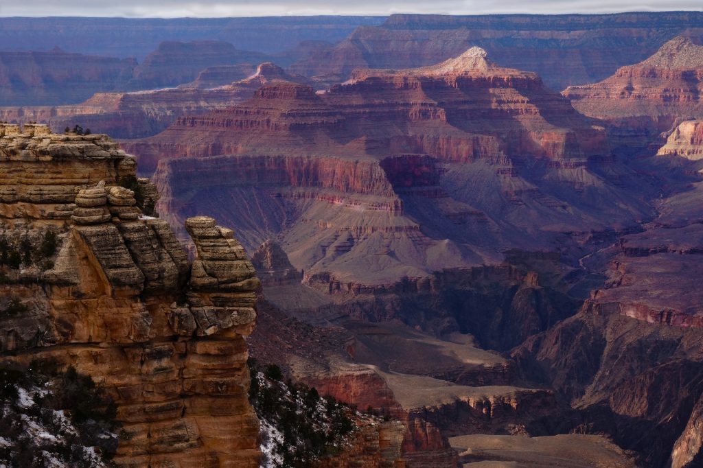
Around 6 million visitors will head for the Canyon and yes it can get busy, but the majority of those will head for the Southern Rim. Here you will find the Grand Canyon Village and the Bright Angel Trail.
Grand Canyon Village holds some of the best scenic overlooks in the park, including Yavapai Point and is the focal point for most people who are visiting the Southern Rim. From here you can access the many activities on offer, including helicopter tours, horseback rides, a scenic train ride, and mule trips. If you are planning to hike and camp, then you will need to purchase a permit. Most of the trails are permit free if you are just hiking for the day.
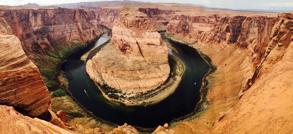
The Bright Angel Trail in one of the most popular trails and originates in Grand Canyon Village and descends 4380 feet down to the river. It is regularly patrolled by Park Rangers so help and assistance is never far away should you need it. You don’t have to walk the whole thing, you could turn round at 1.5 or 3 miles along the 9 mile plus route if you just want to hike just for a day. Should you choose to do the whole trail, then you will need to camp or rent a cabin at the bottom. It takes a good 5 or 6 hours to hike and its slower coming up than going down.
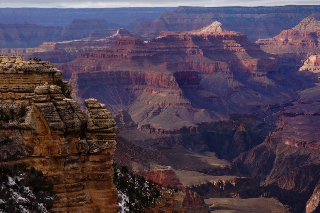
For visitors who aren’t up for a hike into the canyon and driving round winding roads and seeking out parking space and finding change for the parking fee sounds like stress. You might be better off relying on the park’s free shuttle buses, they transport visitors along the rim of the canyon, stopping at many vantage points, giving you great views along the ways. Many of the restaurants in the area also have fantastic views of the Canyon.
Whilst the Southern Rim is open all year, the quieter Northern Rim is only open for the summer. The Northern Rim is where you will find hardy campers and hardcore hikers. There is a lodge and one camping ground. If you are not a hiker, then you can take the scenic Northern Rim drive which includes a visit to Point Imperial which is the highest point of the Northern Rim at 8,803 feet.
